Hurricane Erin Rapidly Strengthens Into Category 5 Storm/ Newslooks/ WASHINTON/ J. Mansour/ Morning Edition/ Hurricane Erin intensified at record speed into a powerful Category 5 storm in the Caribbean, packing winds of 160 mph. Though its center is expected to stay offshore, nearby islands face flooding, mudslides, and dangerous surf. Experts link the rapid intensification to warming ocean temperatures driven by climate change.


Hurricane Erin Rapid Intensification: Quick Looks
- Erin exploded from a tropical storm to Category 5 in 24 hours.
- Winds soared to 160 mph; storm located 105 miles north of Anguilla.
- Tropical storm watches issued for St. Martin, St. Maarten, and St. Barts.
- Puerto Rico, Turks and Caicos, Bahamas under flood and wind threat.
- Erin’s size expected to double or triple in coming days.
- Heavy rains could cause flash flooding, landslides, and mudslides.
- Dangerous rip currents expected along U.S. East Coast next week.
- Erin is the fifth named storm, first hurricane of 2025 season.
- Scientists cite climate change as factor in storm’s rapid intensification.
- FEMA pre-deploys staff; Puerto Rico readies 367 shelters.

Deep Look: Hurricane Erin Becomes Rare Category 5 As Caribbean Braces for Impact
SAN JUAN, Puerto Rico (AP) — Hurricane Erin, the first Atlantic hurricane of the 2025 season, has exploded in power to become a Category 5 storm in a matter of hours, the National Hurricane Center (NHC) confirmed Saturday. Now packing maximum sustained winds of 160 mph (255 kph), Erin’s rapid intensification has drawn comparisons to some of the most extreme storms in recent history.
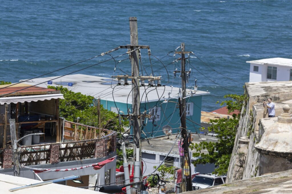
By late Saturday morning, the hurricane’s core was located approximately 105 miles north of Anguilla, traveling west at 17 mph (28 kph). While the storm’s center is forecast to remain offshore, its proximity and projected expansion mean serious impacts are likely for Puerto Rico, the U.S. Virgin Islands, and parts of the northeast Caribbean.
Rapid Strengthening Shocks Experts
Erin’s dramatic transformation from a tropical storm to a Category 5 hurricane in just 24 hours has left meteorologists stunned. According to NHC Director Mike Brennan, the storm gained 60 mph in wind intensity within nine hours—a remarkable and rare escalation.
“We expect to see Erin peak here in intensity relatively soon,” Brennan said during an online briefing.
Tropical storm watches have been issued for St. Martin, St. Barts, and St. Maarten, and even though the core is expected to stay over open waters, authorities warned that Erin could still unleash life-threatening rain, flooding, and landslides across the region.
Flooding, Landslides, and Dangerous Winds Expected
Erin may be compact in size for now, with hurricane-force winds extending only 30 miles from its center, but it’s growing—and fast. The NHC projects the storm could double or even triple in size over the next few days.
This means flash flooding and mudslides are major concerns, especially in hilly and saturated areas of the Caribbean. Additionally, tropical-storm-force wind gusts are possible in Turks and Caicos and the southeastern Bahamas.
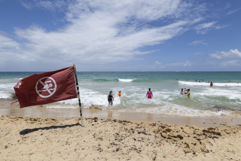
Even the U.S. East Coast is expected to feel Erin’s presence next week. Dangerous rip currents and high surf from Florida to the mid-Atlantic are likely, even with the storm projected to remain well offshore.
Climate Change and Rapid Storm Intensification
Meteorologists and climate experts are calling Erin’s rapid escalation a textbook case of climate change’s impact on hurricane behavior.
“It’s incredible for any time of year, let alone August 16th,” said Michael Lowry, a hurricane specialist and storm surge expert.
Warm sea surface temperatures and low wind shear—the perfect recipe for hurricane development—fueled Erin’s shocking ascent. Scientists have long warned that warming oceans and increased atmospheric moisture make storms more intense and unpredictable.
Dan Pydynowski, senior meteorologist at AccuWeather, pointed out that Category 5 hurricanes are rare, with only 43 recorded in the Atlantic. However, Erin is now the fourth straight year with a Category 5 hurricane in the Atlantic basin.
Precautionary Measures Across the Caribbean
The U.S. government has already deployed over 200 FEMA personnel and other emergency staff to Puerto Rico in anticipation of flooding and wind damage. A flood watch is in effect across the island through Monday.
Ciary Pérez Peña, Puerto Rico’s housing secretary, confirmed that 367 shelters have been inspected and are ready to be opened if conditions worsen.
Additionally, the U.S. Coast Guard shut down six seaports in Puerto Rico and two in the U.S. Virgin Islands on Friday, restricting incoming vessels unless previously authorized.
In the Bahamas, officials are preparing public shelters and warning citizens to stay alert.
“These storms are very volatile and can make sudden shifts in movement,” said Aarone Sargent, head of the Bahamas’ disaster risk management authority.
Hurricane Season Outlook
Erin is the fifth named storm and first hurricane of the 2025 Atlantic hurricane season, which runs from June 1 to November 30.
This year’s forecast predicts a busy season, with six to ten hurricanes and at least three to five major hurricanes (Category 3 or higher).
Erin’s development raises concerns that other storms this season could also intensify with little warning, creating serious challenges for emergency planners and coastal communities.
As the Caribbean braces for impact, all eyes remain on Erin’s path and growth—an ominous signal that the 2025 hurricane season may be just getting started.


