
Rare May Nor’easter Drenches Northeast Before Memorial Day \ Newslooks \ Washington DC \ Mary Sidiqi \ Evening Edition \ A rare May nor’easter swept through New England Thursday, bringing heavy rain, strong winds, and unseasonably cold temperatures. Snow was possible in mountainous areas of Maine and New Hampshire. The storm disrupted travel and holiday plans as the region braced for Memorial Day weekend.
Quick Looks
- Unseasonal Storm: Rare May nor’easter hits days before Memorial Day.
- Cold & Wet: Temps dip below 50°F in several cities.
- Windy Impact: Gusts exceeded 40 mph in some areas.
- Possible Snow: Mountains of Maine, New Hampshire may see snow.
- Travel Disruptions: Boston Logan sees over 300 flight delays.
- Transit Closures: Ferries canceled amid rough coastal waters.
- Storm Timeline: Heavy rain Thursday, lingering drizzle into Friday.
- Meteorologists Say: Jet stream and Arctic air fueled the rare setup.
Deep Look
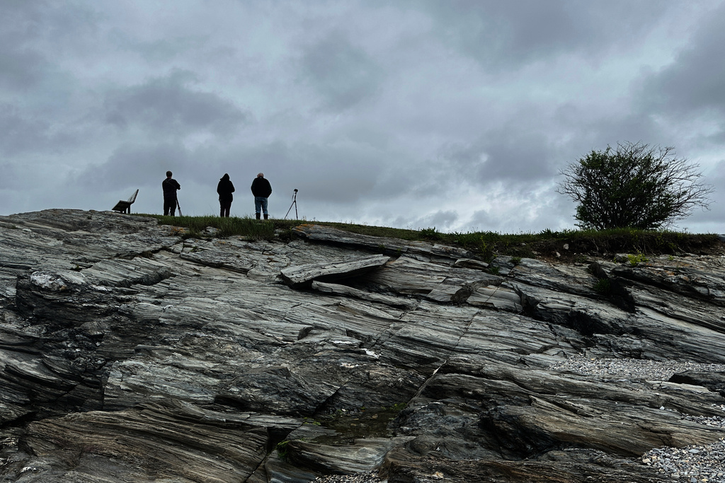
As millions in the Northeast prepared for cookouts, road trips, and ceremonies ahead of Memorial Day weekend, a rare May nor’easter delivered a stark and soggy detour from the traditional kickoff to summer. Instead of sunshine and seasonal warmth, New England awoke Thursday to wind-lashed rains, flight disruptions, and even the possibility of snow—a startling reminder that Mother Nature doesn’t always follow the calendar.
Unseasonal and Unexpected: A Nor’easter in May
Typically reserved for the colder months—from late autumn through early spring—nor’easters are coastal storms infamous for bringing heavy snow, lashing wind, and damaging surf to the East Coast. They are most common between September and April, when sharp temperature contrasts between cold land air and warm Atlantic waters power intense low-pressure systems.
But this week, a unique alignment of atmospheric conditions brought a textbook nor’easter barreling up the coast during late May—an exceedingly rare phenomenon. What made this system so unusual, according to forecasters, was a confluence of unseasonably cold air plunging south from the Canadian Arctic, combined with a jet stream positioned farther south than normal. That combination helped generate and intensify the storm, which spiraled over the Atlantic and pushed wet, windy weather deep into New England.
“It’s really a kind of winter-type setup that you rarely see this late,” said Judah Cohen, seasonal forecast director at Atmospheric and Environmental Research. “If this same pattern occurred in March, we’d be talking about a crippling snowstorm across the Northeast.”
How the Storm Played Out
By Thursday morning, rain had spread across Massachusetts, Rhode Island, Vermont, New Hampshire, and Maine. Winds began to pick up, especially along the coast, with gusts exceeding 40 mph (64 kph). The storm turned skies dark and overcast, setting a dreary scene in cities like Boston, Providence, and Portland, where temperatures remained stuck in the 40s°F (single digits °C).
Boston Logan International Airport became a hub of travel disruption, with more than 60 flight cancellations and over 300 delays. Ferry services—including the Block Island Ferry and three Massachusetts Bay commuter ferry routes—were suspended due to dangerous seas and gale-force winds. Even lobster boats in Cape Elizabeth, Maine, were seen rocking violently in the surf.
Further inland, heavy rainfall created treacherous driving conditions, especially in southern and eastern Massachusetts and parts of Rhode Island, where localized flooding made travel slow and hazardous. Fortunately, forecasters did not expect widespread or catastrophic flooding, though coastal flood advisories and gale warnings were in place throughout Thursday.
“It’s just really a nice dose of rain for the region — not expecting much for flooding,” said Kyle Pederson, meteorologist at the National Weather Service in Boston.
Snow in Late May? Yes—at Elevation
While lowland areas saw only cold rain, the mountainous regions of Maine and New Hampshire were bracing for wet snow, a remarkable event this late in the spring. Forecasters indicated that light accumulations were possible in the higher elevations, although impacts would likely be limited.
Such snowfall in late May, even at elevation, is rare and underscores the unusual nature of the broader atmospheric setup. Cold air, high-altitude moisture, and elevation combined to give New England one final brush with winter—even as summer looms just around the corner.
Why This Nor’easter Happened
Most nor’easters form along the temperature contrast between cold, dry continental air and warm, moist Atlantic air. In this case, an unusual “traffic jam” in the atmosphere helped create the perfect environment. A blocking high-pressure system in the Canadian Arctic allowed cold air to flow unusually far south, while a southerly-dipping jet stream picked up energy and intensified the system off the East Coast.
This created the type of low-pressure system that would be expected in mid-winter, not late spring. The result: a storm powerful enough to disrupt air travel, cause marine advisories, and bring a chill to one of the year’s busiest travel weekends.
Impact on Memorial Day Weekend Plans
The nor’easter couldn’t have come at a worse time. Memorial Day weekend traditionally marks the start of summer across the United States, especially in coastal New England, where seasonal homes reopen, beaches fill, and events honor fallen service members. But instead of sunscreen and shorts, residents were pulling out raincoats and space heaters.
Events and travel plans were scrambled, ferry cancellations left island-bound visitors in limbo, and drivers braved slick roads. For many, the holiday weekend began not with fireworks or flags, but with flight delays, muddy fields, and chilly gray skies.
The Silver Lining: Needed Rain and a Quieter Forecast Ahead
Despite the inconvenience, forecasters noted one upside: the storm helped alleviate recent dry conditions in parts of New England, providing a “soaking rain” without triggering widespread flooding. And while Thursday brought the worst of the system’s effects, conditions were expected to gradually improve on Friday, with light rain and patchy drizzle tapering off.
Temperatures are forecast to slowly rebound over the weekend, giving the region a potential window of better weather for Memorial Day events on Monday.
A Final Reminder from Nature
This rare May nor’easter stands as a reminder that weather doesn’t always follow seasonal norms, and that even as summer beckons, nature can still reach back for winter’s toolbox. For New Englanders, it’s another chapter in the region’s long history of weather surprises, where barbecues sometimes share space with snow shovels—even in May.