Severe Storm Sweeps Southeast Triggering Tornado Watches/ Newslooks/ WASHINGTON/ J. Mansour/ Morning Edition/ A powerful weekend storm system swept across the Southeast, prompting tornado watches and damaging winds. Louisiana communities reported overturned vehicles, downed power poles and structural damage. Meanwhile, the Northeast began to thaw while California braced for a major winter storm.

Southeast Storm System Tornado Watches Quick Looks
- Tornado warnings issued in Mississippi and Louisiana
- Severe winds reported near Lake Charles, Louisiana
- Tornado watches extended into Georgia and Florida Panhandle
- Thousands without power across Southern states
- Northeast sees relief after prolonged cold stretch
- California prepares for heavy rain, flooding and mountain snow

Deep Look: Storm System Triggers Tornado Watches Across Southeast, California Braces for Major Winter Impact
A sweeping storm system roared across the Southeastern United States over the weekend, unleashing tornado warnings, damaging winds and widespread power outages before pushing eastward toward Georgia and Florida.
The severe weather initially impacted parts of Mississippi and Louisiana, where tornado warnings were issued as powerful thunderstorms intensified. Forecasters reported some of the most significant damage near Lake Charles, Louisiana, where high winds overturned a horse trailer and even toppled a Mardi Gras float.
Meteorologists from the National Weather Service surveyed the area and documented structural damage, including an airport jet bridge that sustained harm and a metal awning ripped from a home and thrown into nearby power lines.
Louisiana Communities Hit Hard
In central and southern Louisiana, snapped and toppled power poles were reported near Jena, Cheneyville and Donaldsonville. The high winds, associated with fast-moving thunderstorms, caused scattered outages but spared the region from widespread casualties.
Officials confirmed that no deaths or serious injuries had been reported as of Sunday evening, even as the storm advanced eastward.
By late Sunday, tornado watches were in effect for portions of south Georgia and the Florida Panhandle. Emergency management officials urged residents to remain alert as conditions remained favorable for severe weather.
Power Outages Across Southern States
The storm system triggered power outages in several states, though the scale was far smaller than the massive outages caused by ice storms in northern Mississippi and Nashville, Tennessee, late last month.
According to tracking data from PowerOutage.us, a few thousand customers in Florida, Louisiana, Kentucky and Virginia were still without electricity by Sunday evening.
Utility crews worked throughout the weekend to restore service as quickly as conditions allowed.
Northeast Begins to Thaw
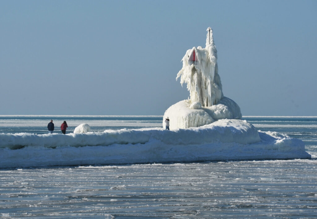
While the South grappled with severe weather, residents in the Northeast began to see relief from weeks of unusually cold temperatures.
In Boston, temperatures last week averaged nearly 7 degrees Fahrenheit below normal for February. The city had been on track for its coldest winter in more than a decade.
Although chilly conditions lingered Sunday, forecasts called for temperatures to climb into the high 30s and low 40s in the coming days — closer to seasonal norms.
The moderation in temperatures marked a notable shift after a prolonged stretch of Arctic air that dominated much of the region.
California Prepares for Major Winter Storm
As the Southeast dealt with tornado threats, the West Coast faced its own weather challenge.
Much of California prepared for a powerful winter storm expected to deliver heavy rainfall, damaging winds and significant snowfall in higher elevations.
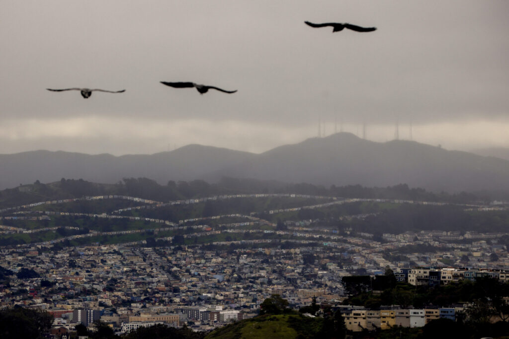
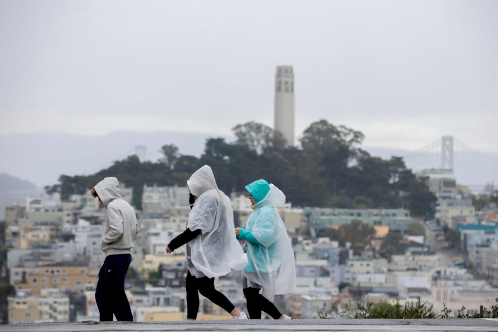
Rain began falling Sunday across the San Francisco Bay Area and was forecast to intensify overnight, raising concerns about localized flooding.
Forecasters warned that the Sierra Nevada mountains — including ski resorts near Lake Tahoe — could receive up to seven feet of snow before the system exits late Wednesday.
Meteorologist Jacob Spender, based in Sacramento, described the incoming system as both large and impactful, urging travelers to carry winter safety kits and prepare for hazardous conditions.
“This is a bigger system, and a major system,” he said, encouraging residents to take necessary precautions.
Evacuation Warnings in Los Angeles Area
Farther south, parts of the Los Angeles region were placed under evacuation warnings due to the potential for mudslides and debris flows in neighborhoods previously scarred by wildfires.
Mayor Karen Bass said emergency crews and city departments were mobilized in advance of the storm to address possible flooding or landslides.
Officials warned that heavy rainfall on burn scars could rapidly trigger dangerous debris flows, threatening homes and roadways.
A Nation Facing Multiple Weather Threats
The weekend’s weather highlights the varied and extreme conditions affecting different regions of the country simultaneously — from tornado threats in the Southeast to snow-packed mountains in California and a thawing Northeast.
Meteorologists continue to monitor the evolving system as it progresses eastward, while emergency officials urge residents to remain weather-aware and prepared for rapidly changing conditions.


