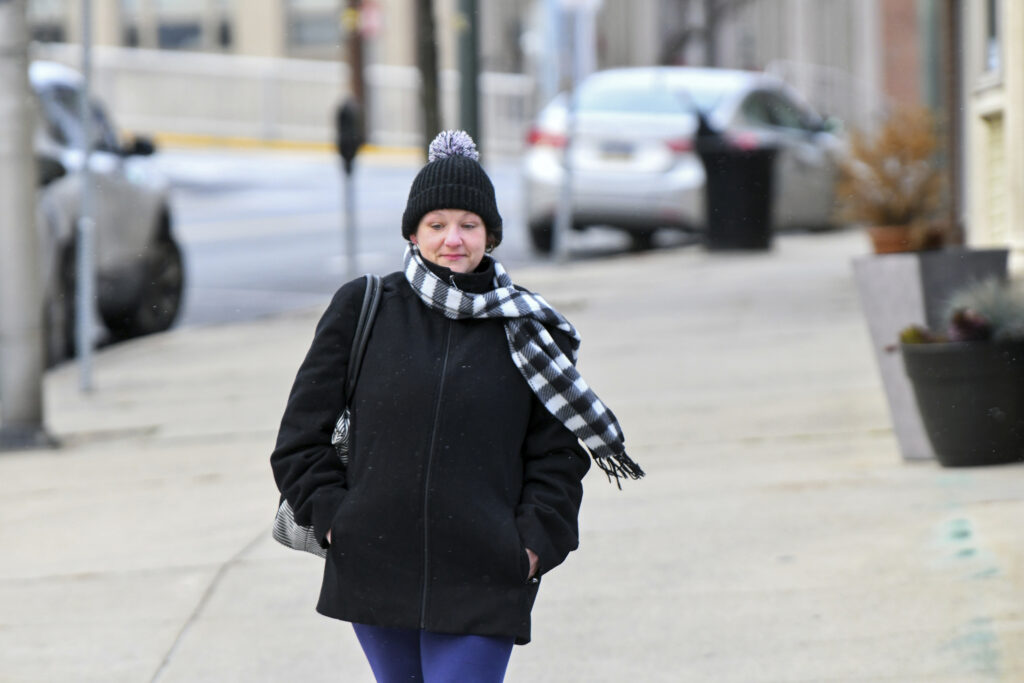
Southern States Brace for Deep Freeze, Record-Breaking Cold Weather/ Newslooks/ WASHINGTON/ J. Mansour/ Morning Edition/ A powerful Arctic cold front will send temperatures plunging across the U.S., bringing winter-like conditions to over two dozen states. Record lows are expected early next week in parts of the South, including Georgia, Florida, and Alabama. The chill will also trigger early-season snowfall in the Great Lakes and Appalachian regions.

Arctic Freeze Quick Looks
- Arctic air mass to sweep across U.S., impacting over 25 states.
- Temperatures to drop 10–20°F below normal, starting in Midwest Saturday.
- First snowflakes possible in Great Lakes, Midwest, and Appalachians.
- Record lows likely in Southeast by Tuesday: Georgia, Florida, Louisiana.
- Wind chills in the teens and 20s, even in major cities like Atlanta and NYC.
- Buffalo, Chicago, St. Louis to feel December-like cold over the weekend.
- Atlanta could see 40s by Monday, upper 20s by Tuesday morning.
- Tampa, Baton Rouge, Savannah may break daily cold records.
- Coldest air relative to normal in Southeast, not just North.
- Rapid rebound in temps expected midweek, especially in central U.S.
Deep Look
Southern States Brace for Record Cold as Arctic Air Sweeps Nation
Though the calendar says fall, much of the U.S. is set to feel like mid-winter this weekend and early next week as a surge of Arctic air dives deep into the country. Temperatures are forecast to plummet by 10 to 20 degrees below seasonal norms, triggering widespread cold from the Midwest to the Deep South, and as far east as the Atlantic Coast.
The early-season freeze is poised to challenge daily record lows across multiple states and bring the coldest temperatures of the season to tens of millions — just weeks before Thanksgiving.
Cold Arrives First in Midwest
The plunge begins Saturday in the northern Plains and Upper Midwest. Cities like Minneapolis, Fargo, and Sioux Falls will wake to wind chills in the teens, with daytime highs struggling to break the freezing mark — more typical of early December than early November.
Snow and rain may accompany the plunge from the Dakotas through Minnesota and northern Iowa. By Sunday morning, most of the Central U.S. will wake to lows in the 20s, and daytime temperatures will remain well below average across the Midwest and Plains.
Chicago and St. Louis will be especially chilly, with highs stuck in the 30s and 40s — roughly 15 degrees below average for this time of year.
Southeast Set for Rare November Chill
While the Midwest is used to cold Novembers, the Southeast is in for a shock. On Monday, frigid temperatures will reach as far south as Texas, Mississippi, and Florida. Morning lows will flirt with the freezing mark in places where November usually means mild mornings.
Tuesday morning could break daily record lows in:
- Birmingham & Huntsville, Alabama
- Baton Rouge, Louisiana
- Savannah, Georgia
- Tampa & Fort Myers, Florida
Atlanta is one of the starkest examples of the plunge: Sunday highs are near 70°F, but by Monday, they’ll fall into the 40s. Tuesday morning’s low could drop into the upper 20s — potentially the coldest since last February.
Cold Reaches the East Coast
Washington, D.C., and New York City will feel the freeze too. While temperatures there may not set records, they’ll hover near the freezing mark Tuesday morning, with wind chills in the 20s — an unusually sharp cold snap for early November.
Despite the jarring change, forecasters say the Arctic blast will be relatively short-lived. Temperatures in the central U.S. will rebound to normal or above-normal levels by Tuesday, and the East Coast will follow suit by Wednesday.
First Snow of the Season Possible
The cold air mass also sets the stage for some early snow events:
- Lake-effect snow is expected in the Great Lakes region starting Sunday, particularly downwind of Lakes Michigan and Erie.
- Snow accumulation is likely in Indiana, Michigan, Ohio, Pennsylvania, and western New York.
- Chicago, Milwaukee, and Rochester (MN) could see their first light snowflakes — though measurable accumulation is not expected.
- Higher elevations of the Appalachians, from West Virginia into western North Carolina and Tennessee, could also see accumulating snow through Monday.
Snowflakes could even reach into parts of the Ohio and Tennessee valleys, offering some areas their first glimpse of winter weather.


