Cold, Snowy Weekend Forecast for Post-Holiday Travelers/ Newslooks/ WASHINGTON/ J. Mansour/ Morning Edition/ Travelers heading home after Thanksgiving face hazardous winter weather across much of the U.S., especially from the northern Rockies to the Northeast. Snowfall could reach up to a foot in Illinois, Michigan, and New York. Below-average temperatures and potential flash floods are also in the weekend forecast.

Post-Thanksgiving Winter Storm Quick Look
- Winter storm warnings issued from Montana to New York
- Heavy snow (6–12 inches) expected in Illinois, Iowa, Michigan, and New York
- Snow squalls could cause whiteout conditions across the interior Northeast
- Rockies and Pacific Northwest seeing a mix of rain and snow
- Flash flooding possible in western Gulf Coast on Saturday
- Temperatures far below average in most central and eastern states
- Holiday travel delays and dangerous driving conditions expected into Sunday
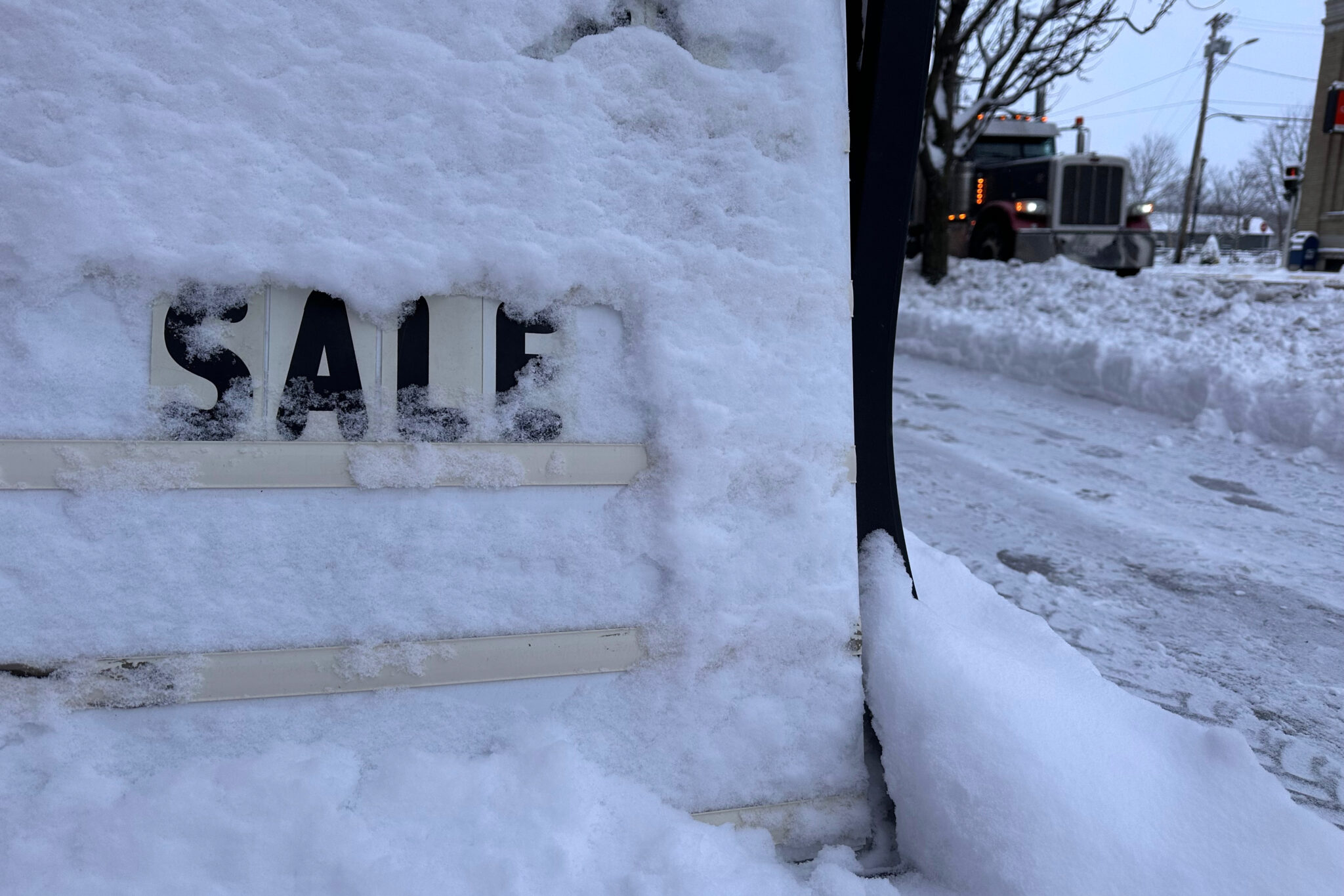
- Storm-related crashes already reported in western Michigan
Travel Advisory: Winter Weather to Disrupt Post-Holiday Plans
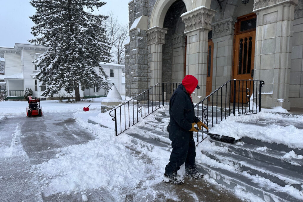
WASHINGTON (AP) — As millions wrap up Thanksgiving celebrations, the weather is turning wintry and treacherous across much of the U.S., threatening to complicate travel over the weekend.
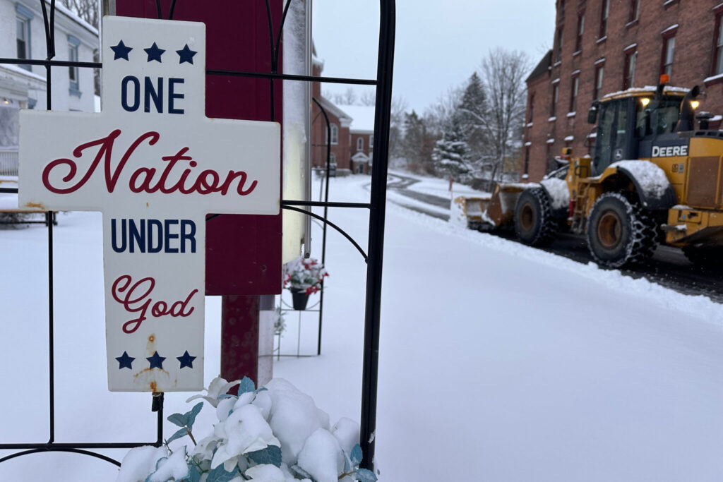
The National Weather Service (NWS) issued winter storm warnings and advisories stretching from Montana to New York, with the most severe conditions expected in the Midwest and Great Lakes regions through Sunday.
Where It’s Worst:
- West-central Illinois & Iowa: 6 to 12 inches of snow expected by Saturday night
- Northern Michigan & New York: Lake-effect snow could bring totals over 12 inches
- Interior Northeast: Snow squalls could create whiteout driving conditions
- Rockies & Pacific Northwest: Snow and rain linger through Friday
Winds & Visibility:
Despite widespread snow, the storm has not met blizzard criteria, which requires:
- Winds ≥ 35 mph
- Visibility ≤ 0.25 miles
- Duration ≥ 3 hours
That said, dangerous travel conditions persist, especially in rural areas and along lakes Erie and Ontario.
Rain & Flooding Risks:
- Western Gulf Coast: Heavy rainfall and flash flooding possible Saturday
- Pacific Northwest: Rain mixed with high-elevation snow
- Midwest: Storms expected to shift eastward by Sunday
Temperatures Drop Coast to Coast:
- Midwest: Highs in the 20s–30s°F
- Northeast & Mid-Atlantic: Highs in the 30s–40s°F
- Southeast: Cooler but milder with highs in the 40s–50s°F
Travel Impact
Thanksgiving Day snow already caused multiple vehicle crashes in western Michigan, and with more snow squalls expected across the Great Lakes and Northeast, officials are urging drivers to use extreme caution or postpone non-essential travel.